
Skip to content
National platform for public administration, companies and smart communities
ARSC/Studio
OUR OWN DEVELOPMENT TEAM

ARSC Studio

ARSC does not resell technology. It builds its own solutions. Our team combines artificial intelligence, European satellite data, maps and open data to answer concrete problems faced by local administrations, problems we have known first-hand for more than ten years.

What we can do

We combine four skills that few teams bring together, and apply them to the concrete problems of Romania's local administrations.

01

Evidence-based artificial intelligence

We give answers backed by sources, not just convincing wording. When data is missing, the system says so clearly. Data is hosted and processed in the European Union.

02

European satellite data analysis

We use the free public data provided by the Copernicus programme and its services for monitoring fires, the atmosphere and vegetation. At local level, its potential is still underused.

03

Mapping and open data integration

We integrate OpenStreetMap, public registers and institutions' open datasets. We build maps on real data and real geographic boundaries, not mere illustrations.

04

Analysis of public documents

We analyse strategies, general urban plans, mobility plans, budgets and reports: long documents that are hard to read through and cross-check by hand.

What we have built

Four platforms, each built from a concrete problem. All of them work and can be tested, not just presented.

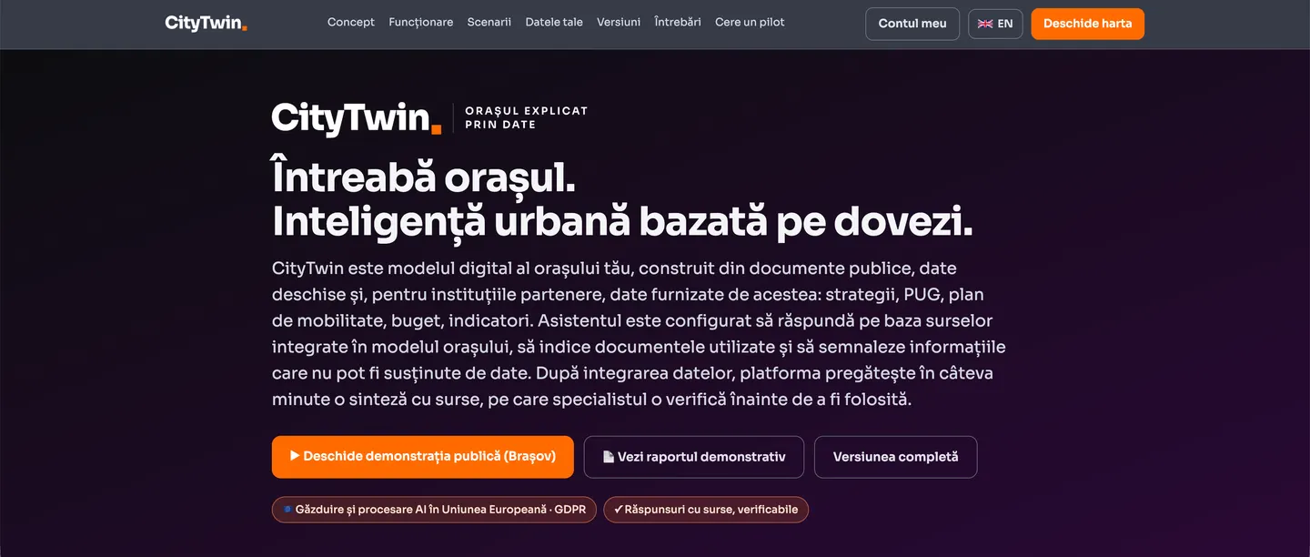
CityTwin - the home page, ask the city

A digital urban model for evidence-based decisions.

CityTwin turns the city's documents and data into a digital model you can query. It gives answers with their sources, shows the information on a map and lets you test scenarios before a decision is taken.

Public pilot available for Brașov

See CityTwin → citytwin.ro
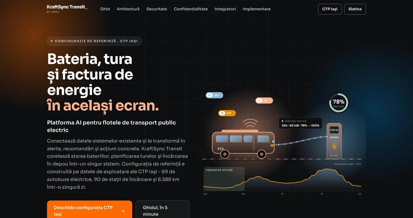
KraftSync Transit - the battery, the shift and the energy bill on the same screen

An artificial intelligence platform for electric public transport fleets.

KraftSync connects the data from existing systems and turns it into alerts, recommendations and concrete actions. It brings data on batteries, shifts, charging and energy costs together in a single operational dashboard.

Demonstration built on real data from CTP Iași

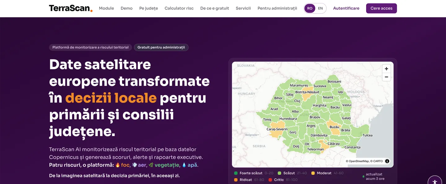
TerraScan AI - European satellite data turned into local decisions

Territorial analysis built on satellite data.

TerraScan turns European satellite data and public sources into comparable indicators of territorial risk, for every county.

Free access for public administrations

See TerraScan AI → terrascan.arsc.ro
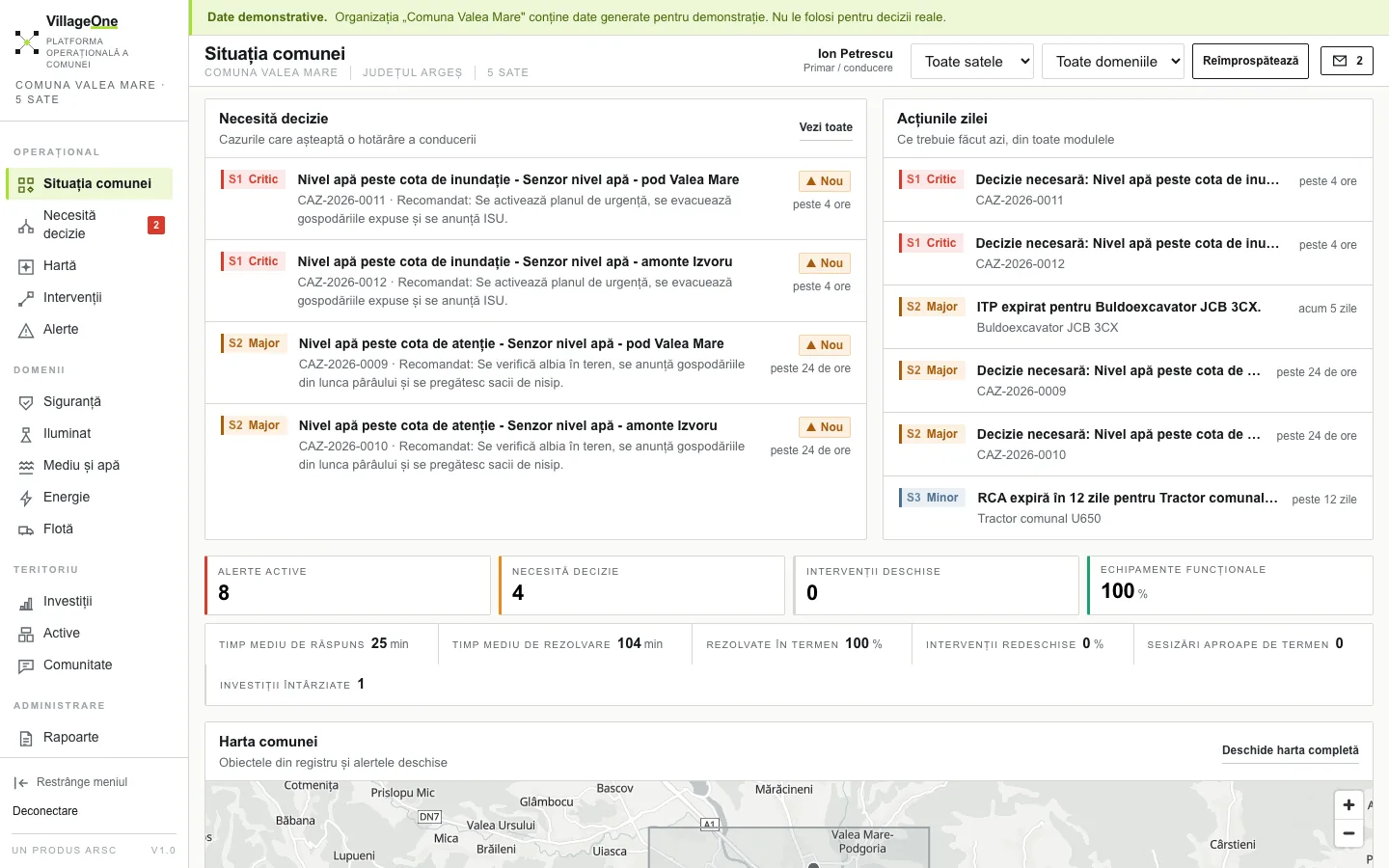
VillageOne - the situation of the commune on a single screen

The operational platform for communes and Local Action Groups (LAGs).

VillageOne brings the territory, assets, investments, interventions and citizen reports together in a single system and follows the path from signal to result. Fifteen modules, activated separately for each commune.

Public demonstration, on the data of a model commune

See VillageOne → villageone.ro

Where our role ends

Our platforms are designed for diagnosis, for the evidence behind decisions and for tracking interventions. They show where the problem is, which data confirms it, what effects an intervention may have and whether it was carried through. Their role ends there.

We do not carry out works, we do not sell equipment, we do not install infrastructure and we do not replace existing systems. Implementation is for the specialist companies in the market, many of them ARSC members. Our role is to clarify the problem and ground the decision, not to deliver the implementation.

Would you like to see the platforms applied to your city?

We present the platforms using the data of the locality you run, in a 30-minute demonstration.

The Smart City Romania network run by ARSC

Everything you want to know about the fastest-growing industry in Romania. The sites below are in Romanian.

arsc.ro · [email protected]